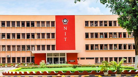
NIT Rourkela develops autonomous real-time land mapping drone system
NIT Rourkela's BHU-MANACHITRA drone system revolutionises land mapping with real-time AI processing. It functions without internet or manual input, making it ideal for remote and disaster-hit areas.

National Institute of Technology Rourkela (NIT Rourkela) researchers have developed an autonomous real-time land mapping drone system that can be used in urban planning, infrastructure development, natural resource management, environmental monitoring etc.
Named BHU-MANACHITRA or earth map, the system uses Artificial Intelligence and Unmanned Aerial Vehicle (UAV) technology to automatically generate land maps without the need for internet connectivity, external computers, or manual interventions.
Used to identify farmlands, forests, vegetation, and urban areas, land mapping is an essential part of the geographic governance of any country. In India, land mapping relies heavily on manual surveys, which often take weeks or months to produce unstable maps. In recent times, drones have been adopted to image distant terrains; however, the captured images still need lab processing, a time-consuming process, to get a readable map.
While deep learning models are being developed worldwide to help interpret aerial images, they often struggle to identify roads, buildings, and vegetation due to the overcrowding of multiple objects. These models often produce inaccurate or unstable maps when used in real-time.
The invention of NIT Rourkela team tries to address such limitations through a deep-learning model that allows the drone to recognise land features in real time. Unlike conventional drones that only collect images for later analysis, BHU-MANACHITRA performs all processing onboard. This makes it self-sufficient and especially valuable in remote locations, disaster-hit regions, or areas with no communication networks.
Recommended Stories
“The invented methodology uses a lightweight AI model with as low as 2.48 million parameters, which makes BHU-MANACHITRA suitable for on-board processing in drones. Drones, being designed lightweight for long flight time, cannot carry heavy dedicated hardware for real-time image processing but can carry a tiny enough processor for executing this lightweight AI model that performs land mapping”, Prof. Sambit Bakshi, Associate Professor, Computer Science & Engineering, NIT Rourkela, said.
The researchers say the technology developed by them can be used by government agencies for land record modernisation, urban planning, and smart city development. Similarly, agriculture departments can instantly assess crop conditions, soil health, and irrigation needs, improving both productivity and sustainability. During natural disasters such as floods, landslides, and earthquakes, the system can provide immediate terrain information, helping authorities plan quicker and more effective responses. Environmental and forest departments can also use it to monitor deforestation, encroachments, and changes in biodiversity.
(INR CR)